
The Melksham Link
The Melksham Link provides a new route for the Wilts & Berks Canal in Melksham using part of the River Avon in the town centre.
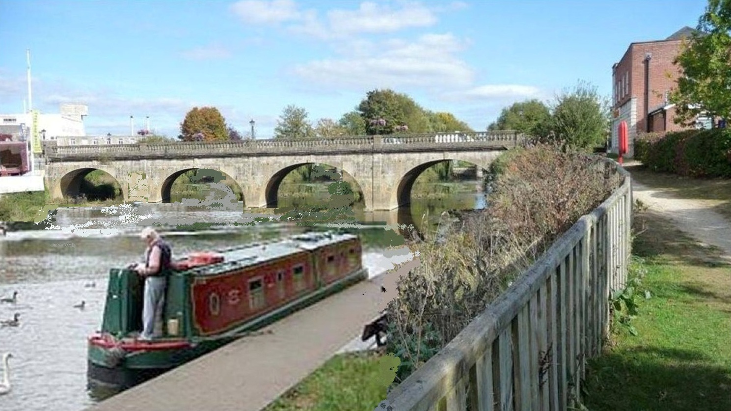
Artist's Impression of narrowboat moored on the River Avon below Town Bridge
The project team have been consulting the local community and working on designs for the scheme since the Partnership endorsed the project as its top priority in 2009.
Information January 2019
A further report has been produced and has been submitted to Wiltshire Council to answer further questions raised by the Environment Agency. The report is available here
Information as at March 2018
The project team has assessed the latest comments from the Environment Agency on the Environment Statement. Consultants Black & Veatch have been instructed to carry out further work to address these issues.
This work is now completed and the Addendum Report for the Environment Statement is downloadable here
Project information from2016
A full economic assesment report has been produced showing the benefits for the local area. You can download this report by clicking here
The scheme has been submitted to Wiltshire Council as a planning application reference number is W/12/01080/FUL Following an initial assessement further ecological surveys have been carried out to produce an Environment Statement which has been submitted to Wilsthire Council together with revised drawings . You can download the Environment Statement by clicking here
You can comment on the application on the Wiltshire Council planning web site by clicking here
The original plans and documents are also downloadable from this page:
Please note that the following drawings and plans are © Wilts & Berks Canal Trust 2012 and by downloading the documents you are acknowledging this copyright :
Flood Risk Assessment Main Report
Towpath (K&A) Bridge Drawing 1
Towpath (K&A) Bridge Drawing 2
Statement of Community Involvement
The following reports are sourced from publicly available 3rd party reports:
Kennet & Avon Canal Economic Benefits 2010
Extended Phase 1 Survey River Area